Log In
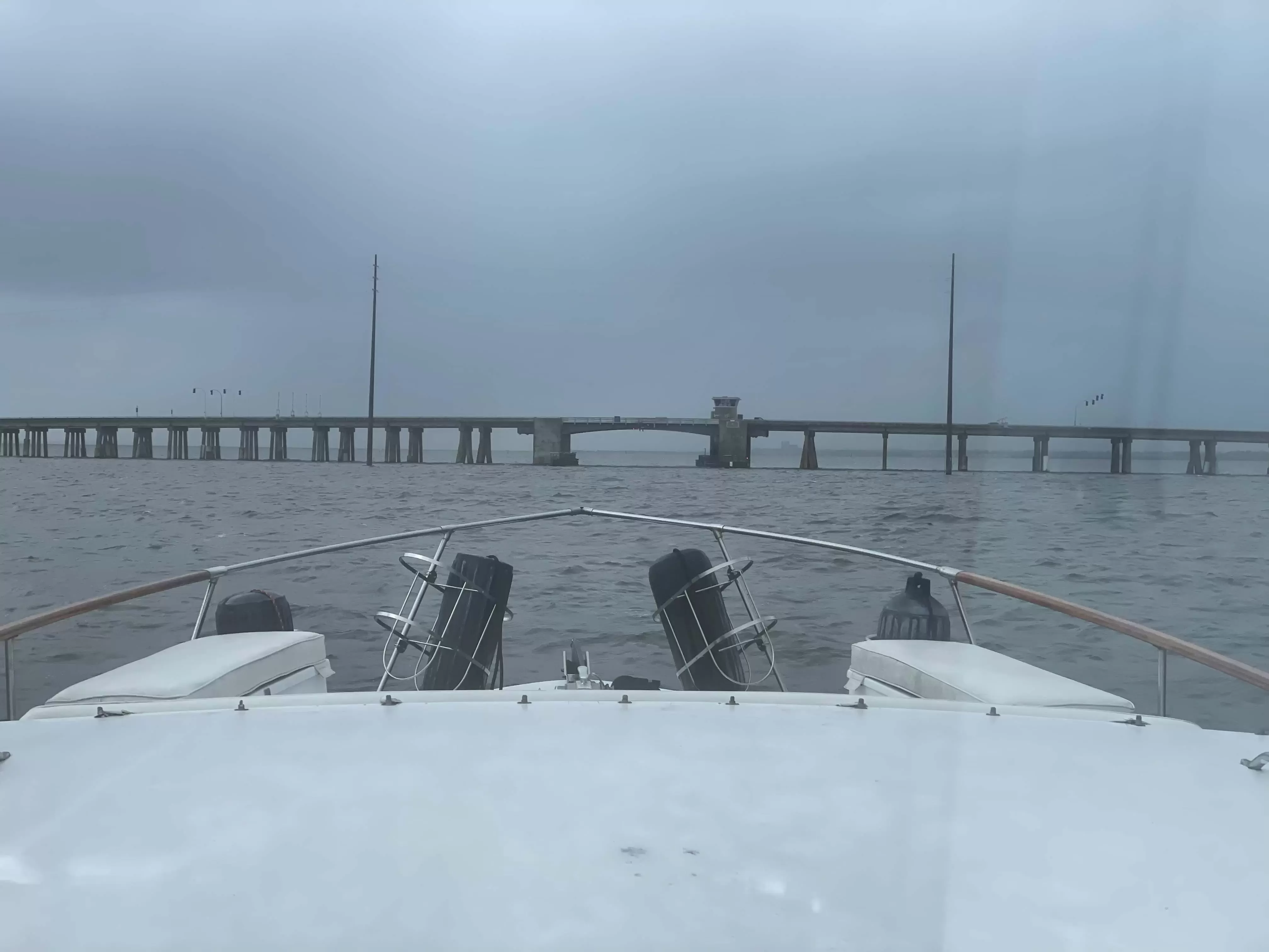
Dr. Sally Ride Memorial (NASA Causeway) Bridge
- Mile Marker: 885
- Lat / Lon: N 28° 31.650' / W 080° 45.933'
- Bridge Type: Fixed
- Vertical Clearance (Closed): 66.00 ft.
- Horizontal Clearance: 125.00 ft.
- Comments:
Listed as John F. Kennedy Space Center bridge, mile 885 at Addison Point in CFR's.
DISCLAIMER: Bridge heights and clearances are published from sources and records provided by various state and federal entities. Waterway Guide Media does not warrant the information as accurate. Water depth, placement of on-location signage and other variables may impact published horizontal and vertical clearances. Exercise caution when transiting.
/-80.76555,28.5275,12/500x250?access_token=pk.eyJ1Ijoid2F0ZXJ3YXlndWlkZSIsImEiOiJGRmM1RDdzIn0.Wya5yV5QEqbz0-fct8zyIA)
14 Boater Comments
-
Comment by: Jim Hedges, Crossroads, on Jan 17, 2025
Vessel Type: Sail
LOA: 44'
Draft: 5.0'Just went under NASA Causeway bridge. This is now a fixed 65' bridge. No marker but 4+ board showing. Approaching high tide. We are 63.8 plus antenna which puts us over 64'. Made it through with no scrapping.
View location on the Waterway Guide Explorer
-
Comment by: M. Frick, Allure, on Apr 5, 2024
Vessel Type: Sail
LOA: 48'
Draft: 5.9'Bridge construction still underway for a second span. No clearance still but we passed northbound (approx. 64.5 air draft) without touching the whip antennae. Passed under the main span, which is the only one with lights attached at top (It was a bit hard to discern with construction barriers in place).
View location on the Waterway Guide Explorer
-
Comment by: Karen Wyscarver on Mar 23, 2024
Vessel Type: Sail
LOA: 38'
Draft: 3.5'Passed under bridge at low tide going northbound. They were still clearing debris. We called and let them know we were coming through. There are no boards but we cleared our 63.5 mast and there was debris in the water on our starboard side.
View location on the Waterway Guide Explorer
-
Comment by: John Addison, Anodyne, on Jan 8, 2024
Vessel Type: Sail
LOA: 52'
Draft: 6.5'Original bridge has gone but there is still work going on to clear the debris. Channel is still partially obstructed but there was at least 50' of horizontal clearance when we went through. No height boards at the moment but with the barge boards showing at least a foot below the high water mark our 63.5' mast cleared without issue
View location on the Waterway Guide Explorer
-
Comment by: Paul Hoffman, Changes in L'Attitudes, on Jun 24, 2023
Vessel Type: Power
LOA: 41'
Draft: 3.8'Traffic has been diverted to the new fixed bridge. Per LNM - The original bridge will be locked in the open position but the channel may be partially obstructed by up to 50 feet during the hours of 7:30 am until 5:00pm with a 2-hour advance notice needed for removal to clear the channel. Vessels which can pass can do so at any time. From 5:00 pm to 7:30 am each day the channel would not be obstructed.
View location on the Waterway Guide Explorer
-
Comment by: Paul Hoffman, Changes in L'Attitudes, on Jun 5, 2023
Vessel Type: Power
LOA: 41'
Draft: 3.8'Traffic will soon be diverted to the new fixed bridge (65ft clearance) and the draw bride spans will be removed.
View location on the Waterway Guide Explorer
-
Comment by: Bill Soulier on Apr 7, 2023
Vessel Type: Sail
LOA: 43'
Draft: 6.0'Got to the bridge at 1645 expecting a 1700 opening after rush-hour lockout. Was told by the bridge operator that the schedule had recently changed and the lockout has been extended to 1800 hrs. Bummer. Pulled over and anchored for an hour.
-
WG Editor Comment:
See the navigation alert posted for this bridge. Temporary schedule in effect through June 30, 2023.
View location on the Waterway Guide Explorer
-
WG Editor Comment:
-
Comment by: Lee Hedge on Dec 10, 2022
Vessel Type: Power
LOA: 55'
Draft: 5.5'With a 3.3 foot tied the south markers showed 23 feet of clearance. We lowered all antennas and WeatherStation and cleared it and we need 22 feet. The 27 foot indicated on the chart is a bit exaggerated.
-
WG Editor Comment:
The tide boards read low steel. There is an additional 4 feet in the center.
View location on the Waterway Guide Explorer
-
WG Editor Comment:
-
Comment by: George Poston on Oct 21, 2022
Vessel Type: Power
LOA: 45'
Draft: 3.5'Southbound board missing. Called operator on VHF. Asked to confirm clearance was 27'. His reply: " If that's what the chart says" Not exactly professional or helpful.
-
WG Editor Comment:
Bridge tenders are not permitted to provide clearances.
View location on the Waterway Guide Explorer
-
WG Editor Comment:
-
Comment by: Paul Wermuth, Bow to my Stern, on Aug 26, 2022
Vessel Type: Power
LOA: 58'
Draft: 6.0'We have been here for two and a half days. The bridge will not lift as the equipment is not operable. There is both commercial traffic and recreational boats that are stuck on both sides of the bridge. There is no alternative for southbound traffic, except to turn around and exit through the Ponce inlet. A two day voyage. NASA can send men to the moon but can't figure out how to lift a bridge span. The Coast Guard doesn't want to get involved with another Governmental agency!
View location on the Waterway Guide Explorer
-
Comment by: John Tyrell on Mar 3, 2022
Vessel Type: Power
LOA: 39'
Draft: 3.7'Northbound elevation board read 22.5 feet at 4.1 feet above low tide; no indication of how much extra if any at center
-
WG Editor Comment:
Charted vertical clearance is 27 feet at center.
View location on the Waterway Guide Explorer
-
WG Editor Comment:
-
Comment by: Lori Donohue, All Time High, on Feb 15, 2022
Vessel Type: Power
LOA: 40'
Draft: 3.2'No board going Southbound. Clearance is not 27. We had 23 at low tide (and keep in mind that tidal change is minimal).
-
WG Editor Comment:
NOAA chart shows 27 feet at center.
View location on the Waterway Guide Explorer
-
WG Editor Comment:
-
Comment by: Paul Lawrance on Feb 23, 2021
Vessel Type: Power
LOA: 53'
Draft: 5.0'The Low Steel height marker is missing on the north side of the bridge.
View location on the Waterway Guide Explorer
-
Comment by: chip vaughn on Apr 16, 2018
LOA: 48'
Draft: 4.0'Having traveled the ICW many times from Cape Cod to Key West, the NASA Causeway Bridge is the only draw that questions the need for an opening because of height clearance. We are 27 feet with gear down, and yesterday the bridge clearance was 21 feet. We were told that if we did not lower our gear even though we still could not clear that we were subject to a $25,000 fine! Is this guy serious? cv
-
WG Editor Comment:
From the Code of Federal Regulations: §117.11 Unnecessary opening of the draw. No vessel owner or operator shall— (a) Signal a drawbridge to open if the vertical clearance is sufficient to allow the vessel, after all lowerable nonstructural vessel appurtenances that are not essential to navigation have been lowered, to safely pass under the drawbridge in the closed position; or (b) Signal a drawbridge to open for any purpose other than to pass through the drawbridge opening. [CGD 91-059, 59 FR 16563, Apr. 7, 1994]
View location on the Waterway Guide Explorer
-
WG Editor Comment:


